
Sites & devices
Interactive maps with configurable map layers, device markers and detail popups that can also display custom fields.
An open-source plugin for NetBox
NetBox GeoView puts sites and devices on the map. Explore your infrastructure on an interactive map, narrow the view with filters and keep distributed networks in focus.
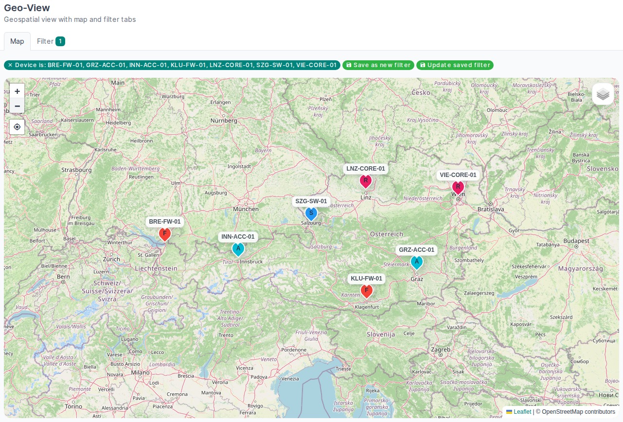
Explore NetBox geographically
GeoView adds a geographical view to your existing NetBox installation. Your data remains part of your familiar infrastructure management workflow.
Interactive maps with configurable map layers, device markers and detail popups that can also display custom fields.
Narrow views by site, status, tags or device role, reuse filters and embed maps as native NetBox dashboard widgets.
Measure direct distances between devices and optionally calculate road routes with a configured Valhalla service.